
1:25,000 scale Land Use Map (Soka)
Geographical Survey Institute
Digital Map Collection [Center for Spacial Information Science] | Center for Spacial Information Science
1:25,000 scale Land Use Map (Funabashi)
Geographical Survey Institute
Digital Map Collection [Center for Spacial Information Science] | Center for Spacial Information Science

1:25,000 scale Land Use Map (Urayasu)
Geographical Survey Institute
Digital Map Collection [Center for Spacial Information Science] | Center for Spacial Information Science
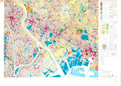
1:25,000 scale Land Use Map (Main Part of Tokyo)
Geographical Survey Institute
Digital Map Collection [Center for Spacial Information Science] | Center for Spacial Information Science

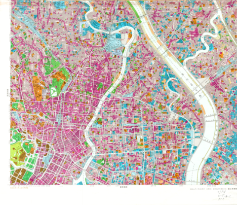
1:25,000 scale Land Use Map (Southern Part of Tokyo)
Geographical Survey Institute
Digital Map Collection [Center for Spacial Information Science] | Center for Spacial Information Science
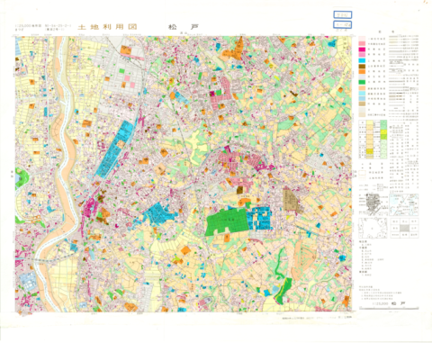
1:25,000 scale Land Use Map (Matsudo)
Geographical Survey Institute
Digital Map Collection [Center for Spacial Information Science] | Center for Spacial Information Science
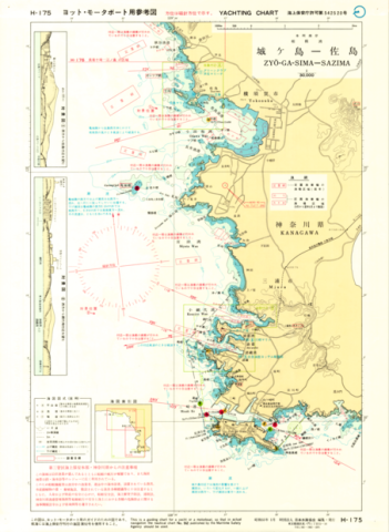
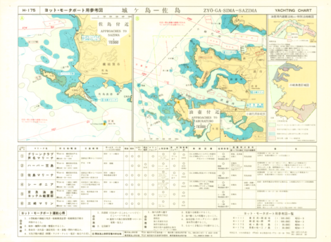
Yachting Charts - Coastal Sailing Series H-175 Zyo-ga-Sima - Sazima 1:30,000 - Front
Japan Hydrographic Association
Digital Map Collection [Center for Spacial Information Science] | Center for Spacial Information Science
Yachting Charts - Coastal Sailing Series H-175 Zyo-ga-Sima - Sazima 1:30,000 - Back
Japan Hydrographic Association
Digital Map Collection [Center for Spacial Information Science] | Center for Spacial Information Science

Chart No. 4054 (INT 53) North Pacific Ocean - Northwestern Portion 1:10,000,000 (Lat. 0°)
Hydrographic Department, M.S.A.
Digital Map Collection [Center for Spacial Information Science] | Center for Spacial Information Science