メインナビゲーション

  • Home
  • Search
  • Collection
  • List
  • News
  • help
  • ja
  • en
Advanced Search

Search Results : 1 -9 of 9
LIST GRID

Only the items being displayed on this screen is available for download as data.

1:25,000 scale Land Use Map (Soka)

1:25,000 scale Land Use Map (Soka)

Geographical Survey Institute
MapGeographical Survey Institute1979
Digital Map Collection [Center for Spacial Information Science] | Center for Spacial Information Science
  • View at "Kashiwanoha Paper Maps Digital Archive"
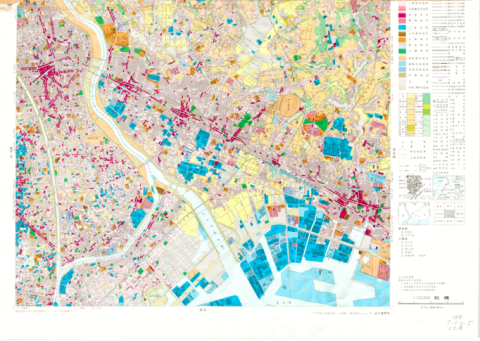
1:25,000 scale Land Use Map (Funabashi)

1:25,000 scale Land Use Map (Funabashi)

Geographical Survey Institute
MapGeographical Survey Institute1979
Digital Map Collection [Center for Spacial Information Science] | Center for Spacial Information Science
  • View at "Kashiwanoha Paper Maps Digital Archive"
1:25,000 scale Land Use Map (Urayasu)

1:25,000 scale Land Use Map (Urayasu)

Geographical Survey Institute
MapGeographical Survey Institute1979
Digital Map Collection [Center for Spacial Information Science] | Center for Spacial Information Science
  • View at "Kashiwanoha Paper Maps Digital Archive"
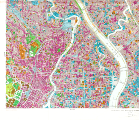
1:25,000 scale Land Use Map (Main Part of Tokyo)

1:25,000 scale Land Use Map (Main Part of Tokyo)

Geographical Survey Institute
MapGeographical Survey Institute1979
Digital Map Collection [Center for Spacial Information Science] | Center for Spacial Information Science
  • View at "Kashiwanoha Paper Maps Digital Archive"
1:25,000 scale Land Use Map (Southern Part of Tokyo)

1:25,000 scale Land Use Map (Southern Part of Tokyo)

Geographical Survey Institute
MapGeographical Survey Institute1979
Digital Map Collection [Center for Spacial Information Science] | Center for Spacial Information Science
  • View at "Kashiwanoha Paper Maps Digital Archive"
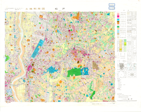
1:25,000 scale Land Use Map (Matsudo)

1:25,000 scale Land Use Map (Matsudo)

Geographical Survey Institute
MapGeographical Survey Institute1979
Digital Map Collection [Center for Spacial Information Science] | Center for Spacial Information Science
  • View at "Kashiwanoha Paper Maps Digital Archive"
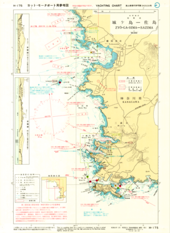
Yachting Charts - Coastal Sailing Series H-175 Zyo-ga-Sima - Sazima 1:30,000 - Front

Yachting Charts - Coastal Sailing Series H-175 Zyo-ga-Sima - Sazima 1:30,000 - Front

Japan Hydrographic Association
MapJapan Hydrographic Association1979
Digital Map Collection [Center for Spacial Information Science] | Center for Spacial Information Science
  • View at "Kashiwanoha Paper Maps Digital Archive"
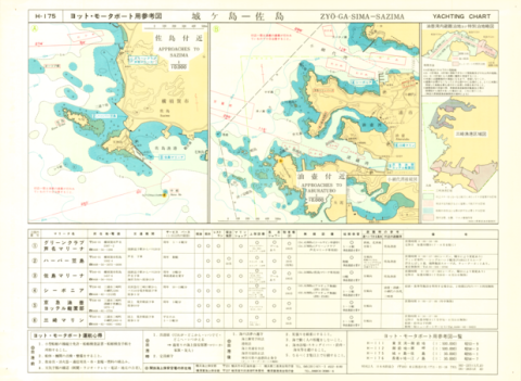
Yachting Charts - Coastal Sailing Series H-175 Zyo-ga-Sima - Sazima 1:30,000 - Back

Yachting Charts - Coastal Sailing Series H-175 Zyo-ga-Sima - Sazima 1:30,000 - Back

Japan Hydrographic Association
MapJapan Hydrographic Association1979
Digital Map Collection [Center for Spacial Information Science] | Center for Spacial Information Science
  • View at "Kashiwanoha Paper Maps Digital Archive"
Chart No. 4054 (INT 53) North Pacific Ocean - Northwestern Portion 1:10,000,000 (Lat. 0°)

Chart No. 4054 (INT 53) North Pacific Ocean - Northwestern Portion 1:10,000,000 (Lat. 0°)

Hydrographic Department, M.S.A.
MapMaritime Safety Agency1979
Digital Map Collection [Center for Spacial Information Science] | Center for Spacial Information Science
  • View at "Kashiwanoha Paper Maps Digital Archive"

Collection

  • Digital Map Collection [Center for Spacial Information Science] (9)

Type

  • Map (9)

Media

  • Image (9)

Rights

  • Others (9)

Metadata Rights

  • Others (9)

Year

  • (-) 1979 (9)
  • 1980 (23)
  • 1978 (4)
  • 1977 (2)
  • 1975 (8)
  • 1974 (2)
  • 1867 (4)
  • 1865 (2)
  • 1864 (3)
  • 1863 (2)
  • 1862 (1)
  • 1861 (1)
  • 1860 (1)
  • 1859 (5)
  • 1857 (1)
  • 1856 (1)
  • 1855 (1)
  • 1854 (2)
  • 1852 (2)
  • 1851 (5)
  • 1850 (2)
  • 1849 (1)
  • 1848 (3)
  • 1847 (1)
  • 1846 (2)
  • 1844 (4)
  • 1843 (2)
  • 1842 (1)
  • 1838 (1)
  • 1837 (4)
  • 1836 (1)
  • 1835 (2)
  • 1834 (1)
  • 1833 (3)
  • 1832 (1)
  • 1831 (1)
  • 1830 (1)
  • 1829 (2)
  • 1828 (2)
  • 1827 (3)
  • 1826 (1)
  • 1825 (1)
  • 1824 (1)
  • 1823 (1)
  • 1822 (2)
  • 1821 (1)
  • 1819 (1)
  • 1818 (4)
  • 1817 (1)
  • 1816 (1)
  • 1815 (1)
  • 1813 (1)
  • 1812 (4)
  • 1811 (1)
  • 1809 (4)
  • 1808 (2)
  • 1806 (1)
  • 1804 (2)
  • 1803 (5)
  • 1802 (1)
  • 1801 (5)
  • 1800 (4)
  • 1799 (3)
  • 1798 (1)
  • 1797 (1)
  • 1796 (1)
  • 1795 (4)
  • 1794 (2)
  • 1793 (2)
  • 1790 (1)
  • 1789 (1)
  • 1788 (1)
  • 1785 (2)
  • 1784 (2)
  • 1783 (1)
  • 1780 (4)
  • 1774 (2)
  • 1772 (1)
  • 1771 (1)
  • 1770 (2)
  • 1769 (1)
  • 1768 (1)
  • 1766 (1)
  • 1764 (2)
  • 1761 (2)
  • 1760 (2)
  • 1759 (1)
  • 1756 (3)
  • 1749 (1)
  • 1740 (1)
  • 1737 (1)
  • 1736 (2)
  • 1734 (2)
  • 1733 (1)
  • 1729 (1)
  • 1728 (1)
  • 1721 (1)
  • 1719 (3)
  • 1718 (1)
  • 1717 (2)
  • 1715 (3)
  • 1710 (4)
  • 1709 (1)
  • 1704 (1)
  • 1698 (1)
  • 1695 (1)
  • 1694 (3)
  • 1693 (1)
  • 1688 (2)
  • 1687 (1)
  • 1686 (2)
  • 1682 (2)
  • 1678 (1)
  • 1667 (2)
  • 1663 (1)
  • 1661 (1)
  • 1660 (1)
  • 1657 (1)
  • 1652 (1)
  • 1651 (1)
  • 1648 (1)
  • 1643 (1)
  • 1641 (1)

Faculty / Graduate School

  • Center for Spacial Information Science (9)

Data Provider

  • The University of Tokyo Archives (103)
  • Resources and Historical Collections Office, The Library of Economics, The University of Tokyo (92)
  • (-) Kashiwanoha Paper Maps Digital Archive Project, Center for Spatial Information Science, The University of Tokyo (9)
  • The University of Tokyo Chiba Forest, Graduate School of Agricultural and Life Sciences (2)
  • The University of Tokyo Forests, Graduate School of Agricultural and Life Sciences, The University of Tokyo (2)

UTokyo Digital Archive Portal

ページTOPに戻る