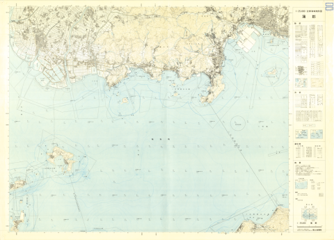
1:25000 scale Topographical Map of Coastal Area (Gamagori)
Type
Map
Creator
Geographical Survey Institute
Publisher
Geographical Survey Institute
Issued
1974
Issued (formated)
1974
Extent
78.8cm * 109.1cm
Description
コレクション: 国際地図・地理展(1980年・東京)
Reference number: JPN C-18
Explanation of the object (A): Map shows the submarine topography of coastal area. Standard level of height and depth corresponds to the mean sea level of Tokyo Bay. The survey of this series was started in 1972.
Map scale: 1:25,000
Country / Region: Japan
Name of editor (b): Japan
Name of supervisor (c) : Japan
Name of printer (e): Geographical Survey Institute
Name of printer (e): Geographical Survey Institute
Name of printer (e): JPY 280
Number of maps: 1
-
Faculty / Graduate SchoolCenter for Spacial Information Science
-
Data ProviderKashiwanoha Paper Maps Digital Archive Project, Center for Spatial Information Science, The University of Tokyo
-
Rightshttps://maparchive.csis.u-tokyo.ac.jp/browse/
-
Metadata Rightshttps://maparchive.csis.u-tokyo.ac.jp/browse/
Collection
-

Digital Map Collection [Center for Spacial Information Science]
This page contains maps from around the world that were collected for the International Cartographic and Geographical Exhibition held in conjunction with the International Geographic Congress & International Cartographic Conference in Japan in 1980 (1980 IGC-ICC). These maps are housed in the Kashiwa Library, the University of Tokyo and have been digitized and made publicly available through the Kashiwanoha Paper Maps Digital Archive Project.
share
関連資料

1:25,000 scale Land Condition Map (Southeastern Part of Tokyo)
Geographical Survey Institute
Digital Map Collection [Center for Spacial Information Science] | Center for Spacial Information Science
1:25,000 Landform Classification Map for Flood Control Planning (Southern Part of Tokyo)
Geographical Survey Institute
Digital Map Collection [Center for Spacial Information Science] | Center for Spacial Information Science

1:25,000 scale Land Use Map (Southern Part of Tokyo)
Geographical Survey Institute
Digital Map Collection [Center for Spacial Information Science] | Center for Spacial Information Science
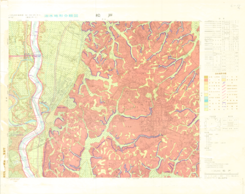
1:25,000 Landform Classification Map for Flood Control Planning (Matsudo)
Geographical Survey Institute
Digital Map Collection [Center for Spacial Information Science] | Center for Spacial Information Science
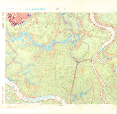
1:25,000 Landform Classification Map for Flood Control Planning (Soka)
Geographical Survey Institute
Digital Map Collection [Center for Spacial Information Science] | Center for Spacial Information Science

1:25,000 scale Land Condition Map of Coastal Area (Gamagori)
Geographical Survey Institute
Digital Map Collection [Center for Spacial Information Science] | Center for Spacial Information Science