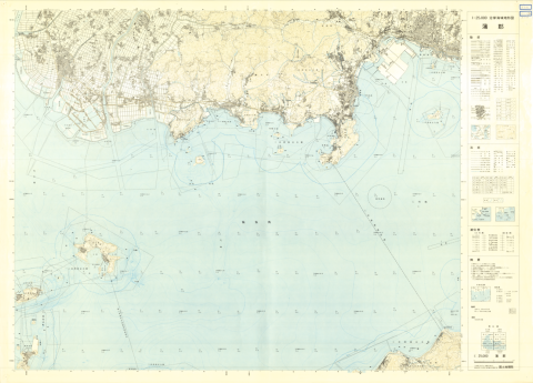
1:25000 scale Topographical Map of Coastal Area (Gamagori)
種別
地図
編著者
Geographical Survey Institute
出版者
Geographical Survey Institute
刊行年、書写年等
1974
刊行年月日(西暦)
1974
形態
78.8cm * 109.1cm
内容記述
コレクション: 国際地図・地理展(1980年・東京)
Reference number: JPN C-18
Explanation of the object (A): Map shows the submarine topography of coastal area. Standard level of height and depth corresponds to the mean sea level of Tokyo Bay. The survey of this series was started in 1972.
Map scale: 1:25,000
Country / Region: Japan
Name of editor (b): Japan
Name of supervisor (c) : Japan
Name of printer (e): Geographical Survey Institute
Name of printer (e): Geographical Survey Institute
Name of printer (e): JPY 280
Number of maps: 1
-
部局空間情報科学研究センター
-
提供者東京大学空間情報科学研究センター柏の葉紙地図デジタルアーカイブ化プロジェクト
-
メディア(画像等)利用条件https://maparchive.csis.u-tokyo.ac.jp/browse/
-
メタデータ利用条件https://maparchive.csis.u-tokyo.ac.jp/browse/
コレクション名
-

柏の葉紙地図デジタルアーカイブ
東京大学柏図書館に所蔵されている、国際地図・地理展(1980年・東京)のために収集された世界各国の地図を、柏の葉紙地図デジタルアーカイブ化プロジェクトによりデジタル化した地図を閲覧することができるサイトです。
シェアする
関連資料

1:25,000 scale Land Condition Map (Southeastern Part of Tokyo)
Geographical Survey Institute
柏の葉紙地図デジタルアーカイブ | 空間情報科学研究センター

1:25,000 scale Land Use Map (Southern Part of Tokyo)
Geographical Survey Institute
柏の葉紙地図デジタルアーカイブ | 空間情報科学研究センター
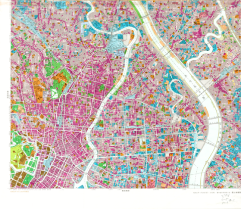
1:25,000 scale Land Use Map (Main Part of Tokyo)
Geographical Survey Institute
柏の葉紙地図デジタルアーカイブ | 空間情報科学研究センター
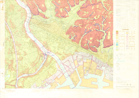
1:25,000 Landform Classification Map for Flood Control Planning (Funabashi)
Geographical Survey Institute
柏の葉紙地図デジタルアーカイブ | 空間情報科学研究センター
1:25,000 Landform Classification Map for Flood Control Planning (Southern Part of Tokyo)
Geographical Survey Institute
柏の葉紙地図デジタルアーカイブ | 空間情報科学研究センター
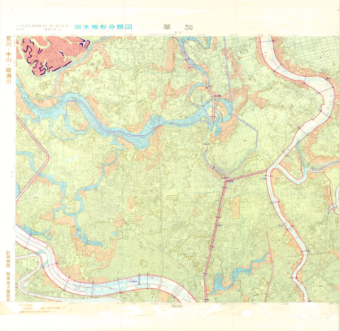
1:25,000 Landform Classification Map for Flood Control Planning (Soka)
Geographical Survey Institute
柏の葉紙地図デジタルアーカイブ | 空間情報科学研究センター