
1:25,000 scale Land Condition Map of Coastal Area (Gamagori)
Geographical Survey Institute
Digital Map Collection [Center for Spacial Information Science] | Center for Spacial Information Science
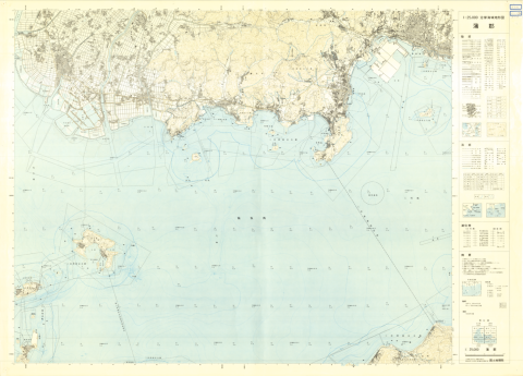
1:25000 scale Topographical Map of Coastal Area (Gamagori)
Geographical Survey Institute
Digital Map Collection [Center for Spacial Information Science] | Center for Spacial Information Science