メインコンテンツに移動

メインナビゲーション

  • ホーム
  • 検索
  • コレクション
  • リンク集
  • ニュース
  • ヘルプ
  • ja
  • en
詳細検索

9件中 1 - 9 を表示
リスト サムネイル

ダウンロードされるアイテムは表示中のもののみです。

1:25,000 scale Land Use Map (Soka)

1:25,000 scale Land Use Map (Soka)

Geographical Survey Institute
地図Geographical Survey Institute1979
柏の葉紙地図デジタルアーカイブ | 空間情報科学研究センター
  • 『柏の葉紙地図デジタルアーカイブ』で見る
1:25,000 scale Land Use Map (Funabashi)

1:25,000 scale Land Use Map (Funabashi)

Geographical Survey Institute
地図Geographical Survey Institute1979
柏の葉紙地図デジタルアーカイブ | 空間情報科学研究センター
  • 『柏の葉紙地図デジタルアーカイブ』で見る
1:25,000 scale Land Use Map (Urayasu)

1:25,000 scale Land Use Map (Urayasu)

Geographical Survey Institute
地図Geographical Survey Institute1979
柏の葉紙地図デジタルアーカイブ | 空間情報科学研究センター
  • 『柏の葉紙地図デジタルアーカイブ』で見る
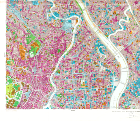
1:25,000 scale Land Use Map (Main Part of Tokyo)

1:25,000 scale Land Use Map (Main Part of Tokyo)

Geographical Survey Institute
地図Geographical Survey Institute1979
柏の葉紙地図デジタルアーカイブ | 空間情報科学研究センター
  • 『柏の葉紙地図デジタルアーカイブ』で見る
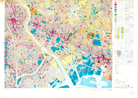
1:25,000 scale Land Use Map (Southern Part of Tokyo)

1:25,000 scale Land Use Map (Southern Part of Tokyo)

Geographical Survey Institute
地図Geographical Survey Institute1979
柏の葉紙地図デジタルアーカイブ | 空間情報科学研究センター
  • 『柏の葉紙地図デジタルアーカイブ』で見る
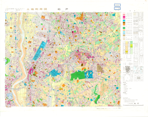
1:25,000 scale Land Use Map (Matsudo)

1:25,000 scale Land Use Map (Matsudo)

Geographical Survey Institute
地図Geographical Survey Institute1979
柏の葉紙地図デジタルアーカイブ | 空間情報科学研究センター
  • 『柏の葉紙地図デジタルアーカイブ』で見る
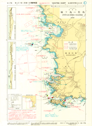
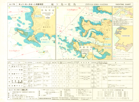
Yachting Charts - Coastal Sailing Series H-175 Zyo-ga-Sima - Sazima 1:30,000 - Front

Yachting Charts - Coastal Sailing Series H-175 Zyo-ga-Sima - Sazima 1:30,000 - Front

Japan Hydrographic Association
地図Japan Hydrographic Association1979
柏の葉紙地図デジタルアーカイブ | 空間情報科学研究センター
  • 『柏の葉紙地図デジタルアーカイブ』で見る
Yachting Charts - Coastal Sailing Series H-175 Zyo-ga-Sima - Sazima 1:30,000 - Back

Yachting Charts - Coastal Sailing Series H-175 Zyo-ga-Sima - Sazima 1:30,000 - Back

Japan Hydrographic Association
地図Japan Hydrographic Association1979
柏の葉紙地図デジタルアーカイブ | 空間情報科学研究センター
  • 『柏の葉紙地図デジタルアーカイブ』で見る
Chart No. 4054 (INT 53) North Pacific Ocean - Northwestern Portion 1:10,000,000 (Lat. 0°)

Chart No. 4054 (INT 53) North Pacific Ocean - Northwestern Portion 1:10,000,000 (Lat. 0°)

Hydrographic Department, M.S.A.
地図Maritime Safety Agency1979
柏の葉紙地図デジタルアーカイブ | 空間情報科学研究センター
  • 『柏の葉紙地図デジタルアーカイブ』で見る

コレクション名

  • 柏の葉紙地図デジタルアーカイブ (9)

種別

  • 地図 (9)

メディア(画像等)有無

  • 有 (9)

メディア(画像等)利用条件

  • 要申請 (9)

メタデータ利用条件

  • 要申請 (9)

関連年

  • (-) 1979 (9)
  • 1980 (23)
  • 1978 (4)
  • 1977 (2)
  • 1975 (8)
  • 1974 (2)

部局

  • 空間情報科学研究センター (9)

提供者

  • 東京大学文書館 (103)
  • 東京大学経済学部資料室 (92)
  • (-) 東京大学空間情報科学研究センター柏の葉紙地図デジタルアーカイブ化プロジェクト (9)
  • 東京大学大学院農学生命科学研究科附属演習林 (2)
  • 東京大学大学院農学生命科学研究科附属演習林千葉演習林 (2)

UTokyo Digital Archive Portal

ページTOPに戻る