メインナビゲーション

  • Home
  • Search
  • Collection
  • List
  • News
  • help
  • ja
  • en
Advanced Search

Search Results : 1 -20 of 74
LIST GRID

Only the items being displayed on this screen is available for download as data.

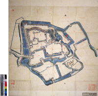
https://iiif.dl.itc.u-tokyo.ac.jp/iiif/soto_kanazawa_jo_202401/E161.jpg/full/1000,986/0/default.jpg

金澤城圖

[書写者不明]
Map
Early Japanese Books - General Library | General Library
https://iiif.dl.itc.u-tokyo.ac.jp/repo/files/medium/3a6dbe9bb229ad06f6e59f8e716170b4b0b9ba58.jpg

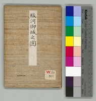
駿河御城之図

篠原 [写]
Map[書写地不明]
Early Japanese Books - General Library | General Library
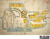
https://iiif.dl.itc.u-tokyo.ac.jp/repo/files/medium/274cd9cce715bf6bd0c513fc09db2d1504b5cd55.jpg

加州金沢之城図

篠原 [写]
Map[書写地不明]
Early Japanese Books - General Library | General Library
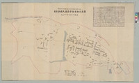
東京帝國大學農學部建物位置圖

東京帝國大學農學部建物位置圖

[東京帝國大學農學部]
Map1922
東京帝國大學農學部建物位置圖 | Graduate School of Agricultural and Life Sciences / Faculty of Agriculture
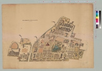
東京帝國大學本部構内及農學部建物鳥瞰圖

東京帝國大學本部構内及農學部建物鳥瞰圖

[東京帝國大學]
Map1937
東京帝國大學本部構内及農學部建物鳥瞰圖 | Graduate School of Agricultural and Life Sciences / Faculty of Agriculture
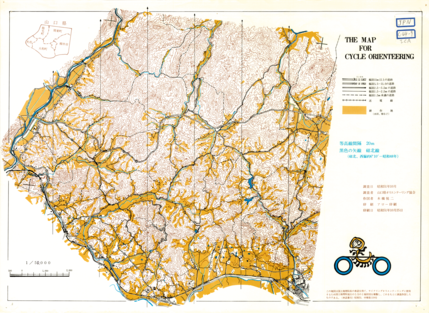
The Map for Cycle Orienteering

The Map for Cycle Orienteering

Map
Digital Map Collection [Center for Spacial Information Science] | Center for Spacial Information Science
  • View at "Kashiwanoha Paper Maps Digital Archive"
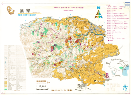
Showa 53 nendo Zen Nippon Orienteering Taikai (All Japan Competition) KAZAMATSURI

Showa 53 nendo Zen Nippon Orienteering Taikai (All Japan Competition) KAZAMATSURI

Japan Orienteering Committee
Map
Digital Map Collection [Center for Spacial Information Science] | Center for Spacial Information Science
  • View at "Kashiwanoha Paper Maps Digital Archive"
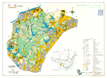
Nishi-Nippon ken Kokusai Orienteering Taikai (West Japan and International Competition) KOHNAN

Nishi-Nippon ken Kokusai Orienteering Taikai (West Japan and International Competition) KOHNAN

Japan Orienteering Committee
Map
Digital Map Collection [Center for Spacial Information Science] | Center for Spacial Information Science
  • View at "Kashiwanoha Paper Maps Digital Archive"
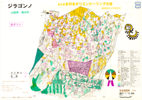
Dai 6 kai Zen Nippon Orienteering Taikai (All Japan Competition)

Dai 6 kai Zen Nippon Orienteering Taikai (All Japan Competition)

Japan Orienteering Committee
Map
Digital Map Collection [Center for Spacial Information Science] | Center for Spacial Information Science
  • View at "Kashiwanoha Paper Maps Digital Archive"
Dai 6 kai Zen Nippon Orienteering Taikai (All Japan Competition)

Dai 6 kai Zen Nippon Orienteering Taikai (All Japan Competition)

Japan Orienteering Committee
Map
Digital Map Collection [Center for Spacial Information Science] | Center for Spacial Information Science
  • View at "Kashiwanoha Paper Maps Digital Archive"
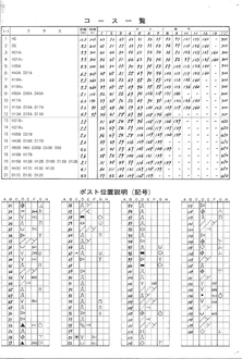
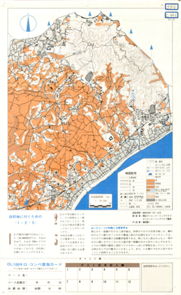
Kanagawa-ken OL Permanent Course 15 MIRURA HANTO TAKEYAMA

Kanagawa-ken OL Permanent Course 15 MIRURA HANTO TAKEYAMA

Yokohama Orienteering Club and Orienteering Club Tsurumi
Map
Digital Map Collection [Center for Spacial Information Science] | Center for Spacial Information Science
  • View at "Kashiwanoha Paper Maps Digital Archive"
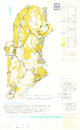
Osaka-fu OL Permanent Course 12 Kochi-nagano Amanosan

Osaka-fu OL Permanent Course 12 Kochi-nagano Amanosan

Map
Digital Map Collection [Center for Spacial Information Science] | Center for Spacial Information Science
  • View at "Kashiwanoha Paper Maps Digital Archive"
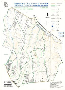
SAPPORO shi Ski Orienteering Competition and Training Course of Ski Orienteering Leaders

SAPPORO shi Ski Orienteering Competition and Training Course of Ski Orienteering Leaders

Japan Orienteering Committee
Map
Digital Map Collection [Center for Spacial Information Science] | Center for Spacial Information Science
  • View at "Kashiwanoha Paper Maps Digital Archive"
Chart No. 749. Singapore Strait, Eastern Portion. 1:75,000 (Lat. 1°15')

Chart No. 749. Singapore Strait, Eastern Portion. 1:75,000 (Lat. 1°15')

Hydrographic Department, M.S.A.
MapMaritime Safety Agency1980
Digital Map Collection [Center for Spacial Information Science] | Center for Spacial Information Science
  • View at "Kashiwanoha Paper Maps Digital Archive"
Chart No. 750. Singapore Strait, Central Portion. 1:50,000 (Lat. 1°15')

Chart No. 750. Singapore Strait, Central Portion. 1:50,000 (Lat. 1°15')

Hydrographic Department, M.S.A.
MapMaritime Safety Agency1980
Digital Map Collection [Center for Spacial Information Science] | Center for Spacial Information Science
  • View at "Kashiwanoha Paper Maps Digital Archive"
Chart No. 751. Singapore Strait, Western Portion. 1:50,000 (Lat. 1°15')

Chart No. 751. Singapore Strait, Western Portion. 1:50,000 (Lat. 1°15')

Hydrographic Department, M.S.A.
MapMaritime Safety Agency1980
Digital Map Collection [Center for Spacial Information Science] | Center for Spacial Information Science
  • View at "Kashiwanoha Paper Maps Digital Archive"
LANDSAT MAP 1:500,000 (Chubu Mountaineous Region, Central Japan)

LANDSAT MAP 1:500,000 (Chubu Mountaineous Region, Central Japan)

Geographical Survey Institute
Map1978
Digital Map Collection [Center for Spacial Information Science] | Center for Spacial Information Science
  • View at "Kashiwanoha Paper Maps Digital Archive"
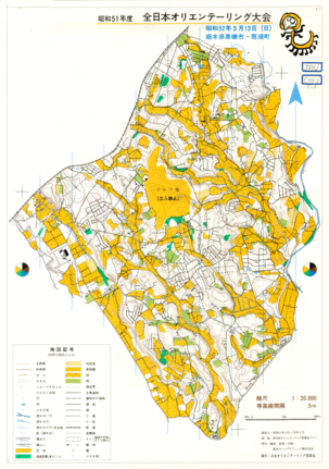
Showa 51 nendo Zen Nippon Orienteering Taikai (All Japan Competition)

Showa 51 nendo Zen Nippon Orienteering Taikai (All Japan Competition)

Japan Orienteering Committee
Map
Digital Map Collection [Center for Spacial Information Science] | Center for Spacial Information Science
  • View at "Kashiwanoha Paper Maps Digital Archive"
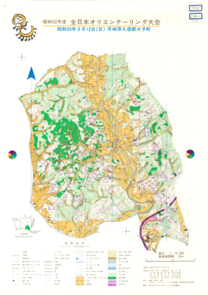
Showa 52 nendo Zen Nippon Orienteering Taikai (All Japan Competition)

Showa 52 nendo Zen Nippon Orienteering Taikai (All Japan Competition)

Japan Orienteering Committee
Map
Digital Map Collection [Center for Spacial Information Science] | Center for Spacial Information Science
  • View at "Kashiwanoha Paper Maps Digital Archive"
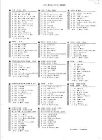
Showa 52 nendo Zen Nippon Orienteering Taikai (All Japan Competition)

Showa 52 nendo Zen Nippon Orienteering Taikai (All Japan Competition)

Japan Orienteering Committee
Map
Digital Map Collection [Center for Spacial Information Science] | Center for Spacial Information Science
  • View at "Kashiwanoha Paper Maps Digital Archive"

Pagination

  • Current page 1
  • Page 2
  • Page 3
  • Page 4
  • Next page ›
  • Last page last »

Collection

  • Digital Map Collection [Center for Spacial Information Science] (69)
  • Early Japanese Books - General Library (3)
  • Agri. Library, UTokyo Collection (2)

Type

  • Book (181,568)
  • StillImage (30,168)
  • JapaneseClassicalBook (10,796)
  • Newspaper (8,456)
  • ChineseClassicalBook (2,587)
  • MuseumMaterial (2,551)
  • Journal (855)
  • (-) Map (74)
  • Manuscript (1)
  • Painting (1)

Media

  • Image (74)
    • IIIF (5)

Rights

  • Free Re-use (5)
  • Others (69)

Metadata Rights

  • Free Re-use (5)
    • CC BY (5)
  • Others (69)

Year

  • 1980 (23)
  • 1979 (9)
  • 1978 (4)
  • 1977 (2)
  • 1975 (8)
  • 1974 (2)
  • 1937 (1)
  • 1922 (1)

Faculty / Graduate School

  • Center for Spacial Information Science (69)
  • General Library (3)
  • Graduate School of Agricultural and Life Sciences / Faculty of Agriculture (2)

Original Owner

  • General Library, The University of Tokyo (3)
  • University Library for Agricultural and Life Sciences, The University of Tokyo (2)

Data Provider

  • Kashiwanoha Paper Maps Digital Archive Project, Center for Spatial Information Science, The University of Tokyo (69)
  • General Library, The University of Tokyo (3)
  • University Library for Agricultural and Life Sciences, The University of Tokyo (2)

UTokyo Digital Archive Portal

ページTOPに戻る